
Monitoring Ice Flow in a Warming World
Glacier flow transports ice into the ocean, contributing to global sea level rise. Increases in air and ocean temperature can lead to acceleration of ice flow and faster sea level rise. Therefore, measurements of ice flow are crucial for understanding the response of Greenland and Antarctica to climate change and for monitoring their contribution to sea level rise.
In response to this need, researchers have used the abundance of satellite imagery to measure ice sheet flow. SHIVER provides an interactive platform for exploring, visualizing and extracting these measurements, with the aim of accelerating scientific discovery and educating interested parties.
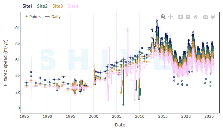
Sheffield Ice Velocity ExploreR (SHIVER) - Timeseries Explorer
The SHIVER Timeseries Explorer utilizes cloud-based architecture to provide instant visualisation and extraction of ice sheet velocity measurements for Greenland and Antarctica in one simple interface.
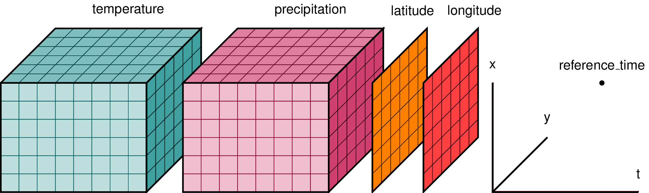
Sheffield Ice Velocity ExploreR (SHIVER) - Data Cube Extractor
The SHIVER Data Cube Extractor allows rapid generation and download of ice velocity data cubes for any time period and region in Greenland and Antarctica in one simple interface.
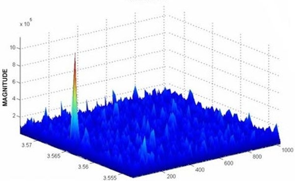
SHeffield Ice Flow Tracker (SHIFT)
SHIFT is our processing system to generate the some of the ice velocity measurements available in SHIVER. With it, we measure ice motion ~weekly, regardless of weather and during polar darkness.